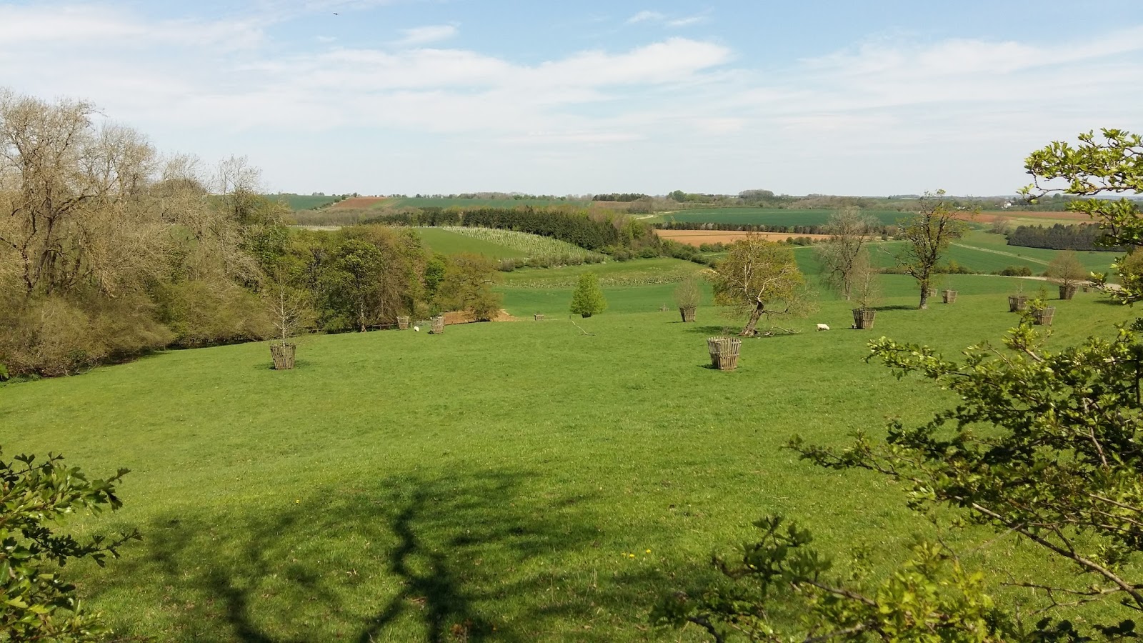
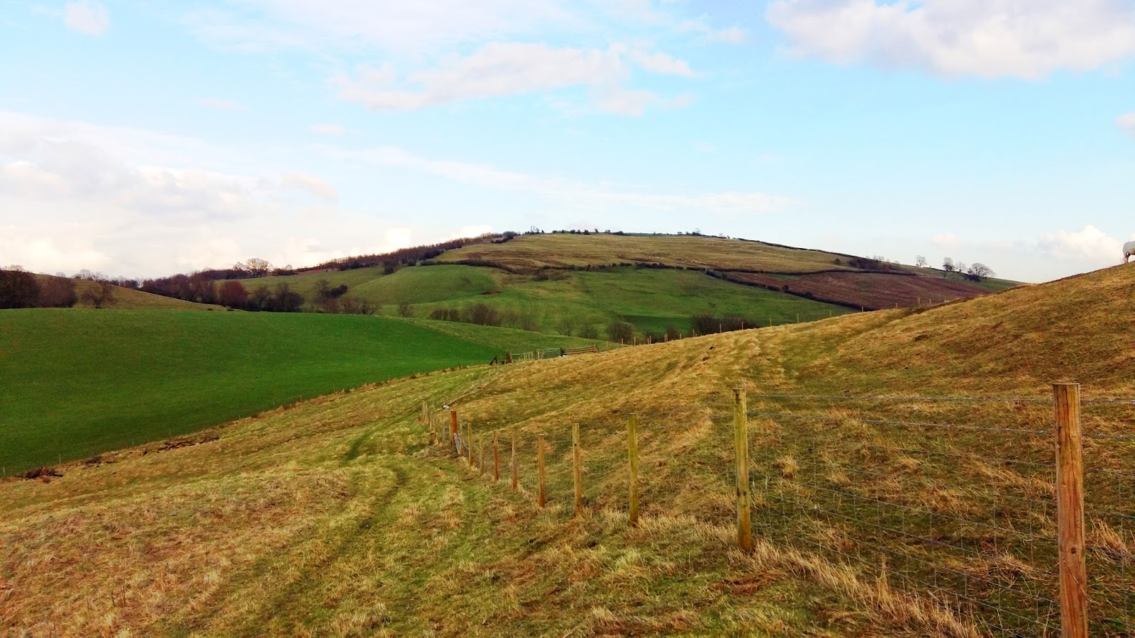
I took this circular today, a hot, sunny, Sunday morning, and managed nearly two and a half miles without coming across a single person, apart from when I passed through Hazelton. The views are incredible throughout- one of the most beautiful Cotswold walks I've been on. I've included the map at the end, and am happy to share details if anyone wants them. It starts at a small car park in Turkdean along the Sabrina Way, turns along the Gloucestershire Way, and then uses a few public footpaths over open farmland and pasture. Give it a try!
Welcome to The Cotswolds!
I love the English Cotswolds and think everyone should visit this beautiful place at least once in their lifetime. Having lived all over the world and traveled as much as possible, I still think that this little part of England is one of the world's greatest treasures. This site is dedicated to helping spread the word and encourage sustainable travel to the Cotswolds.
If you enjoy reading this blog, please help spread the word by sharing with your friends!
Showing posts with label Gloucestershire Way. Show all posts
Sunday, 8 May 2016
Monday, 15 February 2016
Unexpected beauty from Oxenton to Woolstone
There are so many public walkways in the Cotswolds (and, well, the UK in general!), and I have made it my mission to try them all. I decided to take a look at my Ordnance Survey map of the area last weekend, and picked out a circular route between two villages I knew nothing about and had never heard of: Oxenton and Woolstone. They are tucked away to the northwest of Winchcombe, right on the edge of the Cotswolds. The villages are quite tiny, having only 30-40 houses each, and each having a beautiful church- Oxenton's hails from the 13th century and is in outstanding condition.
The walk was superb- extremely quiet, as I didn't see even one other rambler the entire time. The views were magnificent as well, and the paths very well marked and managed. Most of the walk, up to the top of Oxenton Hill and over Crane Hill, followed the Gloucestershire Way, so this could easily be extended as long as you like in either direction!
Labels:
cotswolds,
Crane Hill,
Gloucestershire Way,
Oxenton,
Oxenton Church,
oxenton Hill,
Woolstone
Monday, 19 April 2010
May Hill
I thought I'd write a little about May Hill, seeing as May Day is fast approaching...
May Hill is a hill between Gloucester and Ross-on-Wye, whose summit is on the western edge of Gloucestershire, though its northern slopes are in Herefordshire. May Hill is the most familiar landmark for many miles around, with its near circular mound and the crowning clump of trees, and at 296 metres (971 feet) it is the highest point around. On a clear day you can see up to 12 other counties. May Hill has a circular trench, 100 metres in diameter, and is said to be an old earthwork from the Iron Age. Within this area is a mound that is said to be a round barrow.
It forms part of a low range of hills separating the River Severn from the River Wye. The Hill used to be known as Yartleton Hill, but may have been renamed because of the May Day activities there (see below). The top of the hill is a Site of Special Scientific Interest. Much of the hill is owned by the National Trust, though the very top is vested with the Longhope Parish Council (though with no fences). It was recently included among 'the seven wonders of the West Country.'
Each May Day (the first of May), Morris Dancers dance in the new dawn on the top of May Hill and hundreds of observers join in the celebration. A ceremony on May Day morning has been carried out for several centuries, originally it included a mock battle between youths.
The summit is reached by three public footpaths, two of them forming the Gloucestershire Way and Wysis Way.
Here is a great video of the May Day celebrations last year atop the hill:
Contact details for May Hill/National Trust Ebworth EstateThe Camp Stroud Gloucestershire GL6 7ES 01452 814213 (General enquiries) 01452 810054 (Warden) Email: mayhill@nationaltrust.org.uk May Day 2010 This year the Lassington Oak Morris Men will be dancing in the Spring at 5:15am (sunrise) at the top of the hill. Hope you can make it! More info & some great photos There's loads of detail about May Hill, as well as some stunning photographs by Alan Wood, on the Ross-on-Wye visitors website, so please have a look! |
Subscribe to:
Posts (Atom)